MAIN CONTRACTOR
Institute for Systems Engineering and Computers at Coimbra (INESC Coimbra).
PARTICIPATING INSTITUTION
UNIVERSITY OF COIMBRA (UC)
Department of Mathematics – Faculty of Sciences and Technology (DM-FCTUC)
Department of Informatics Engineering – Faculty of Sciences and Technology (DEI-FCTUC)
Center for Informatics and Systems of the University of Coimbra (CISUC)
OBJECTIVES
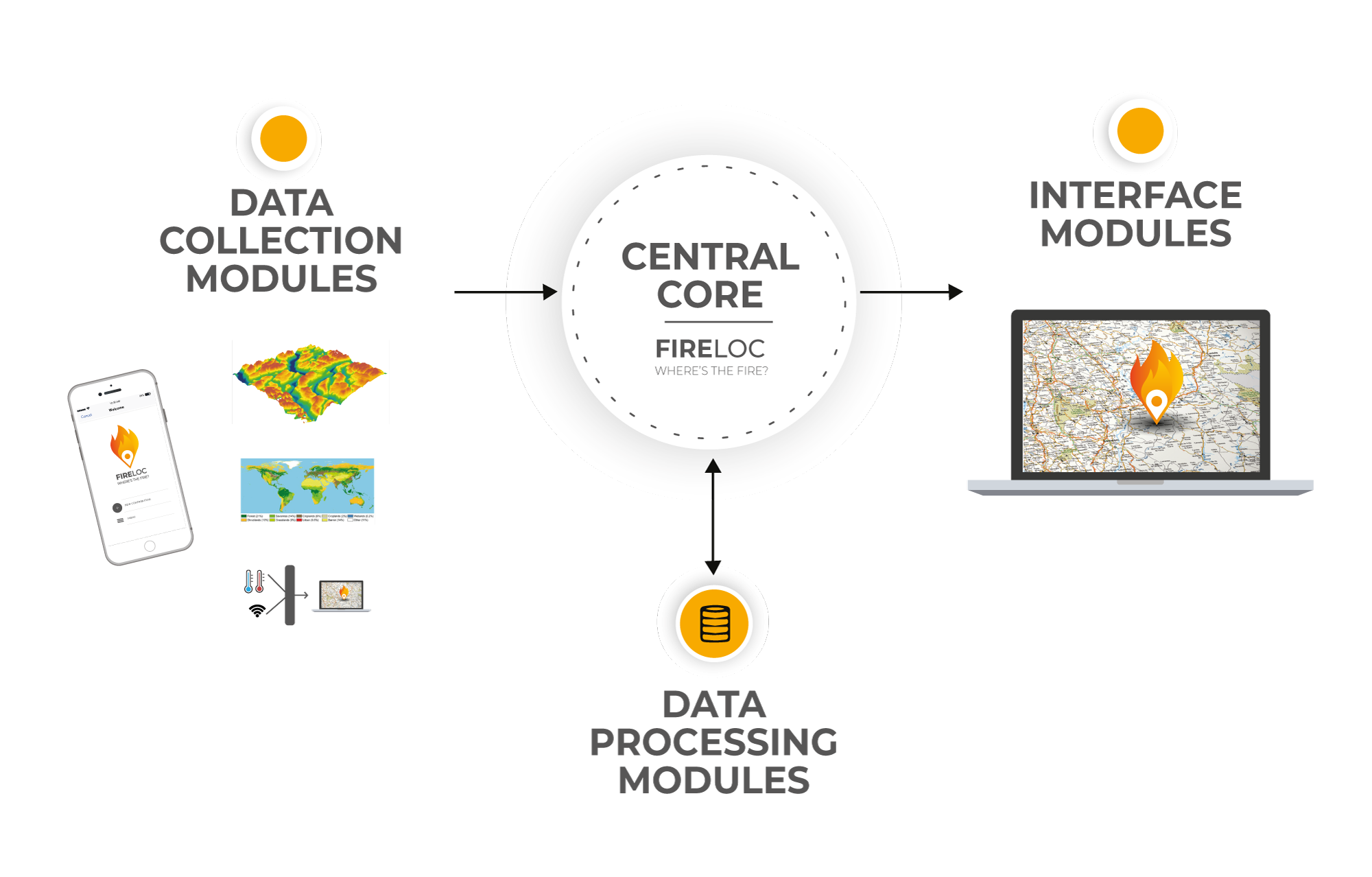
To develop a system that will allow:
1 ANY VOLUNTEER CITIZEN WITH A SMARPHONE TO REPORT A SPOTED FIRE BY AUTOMATICALLY SENDING:
- Geolocation coordinates (place of observation);
- An image of what is being observed (photo taken with the smartphone);
- Additional data to georeference the observed phenomenon:
– The orientation (automatically gathered from the smartphone);
– The approximate distance to the spotted event (provided by the user).
2 TO IDENTIFY, FOR EACH CONTRIBUTION:
- The approximate geolocation of the observed event;
- The degree of confidence/uncertainty of data received.
3 THE INTEGRATION AND PROCESSING OF DATA MADE AVAILABLE BY VOLUNTEER CITIZENS:
- Identifying almost in real time the geolocation and extent of the observed phenomena;
- Providing information to differentiated users.
FIRELOC SYSTEM

CONTACT


